Our hiking adventures
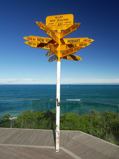
Te Araroa
New Zealand
Our long-distance trail—once from north to south through New Zealand.
- Length: ~2,750 km
- Cumulative Altitude: ~58,900 m
- Highest Point: 2,291 m
- Lowest Point: 0 m
- Duration: 158 days
- Period: Oct 2017 – Mar 2018
View Tour Posts | Flickr Album | Download GPX File
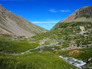
GR54
France
A challenging two-week alpine hike through the French Écrins National Park.
- Length: 170 km
- Cumulative Altitude: 12,912 m
- Highest Point: 2,754 m
- Lowest Point: 721 m
- Duration: 11 days
- Period: Jul – Aug 2017
View Tour Posts | Flickr Album | Download GPX File
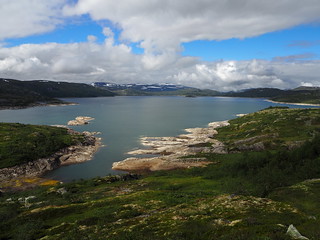
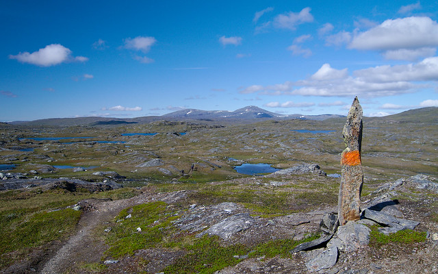
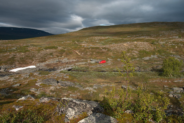
Hardangervidda
Norway
Crossing Europe's largest plateau from north to south.
- Length: 180 km
- Cumulative Altitude: 3,025 m
- Highest Point: 1,630 m
- Lowest Point: 955 m
- Duration: 9 days
- Period: Jul 2016
No Tour Posts :/ | Flickr Album | Download GPX File
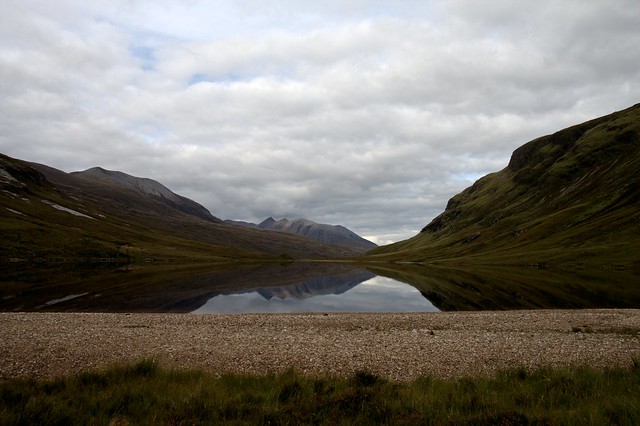
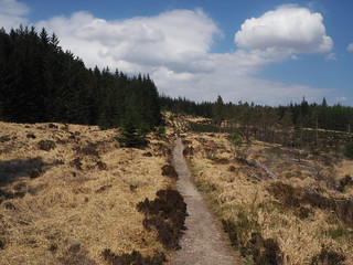
West Highland Way
Scotland
Hike from the Scottish Lowlands to the heart of the Highlands, passing the country's highest mountain.
- Length: 154 km
- Cumulative Altitude: 2,785 m
- Highest Point: 551 m
- Lowest Point: 8 m
- Duration: 6 days
- Period: May 2016
No Tour Posts :/ | Flickr Album | Download GPX File
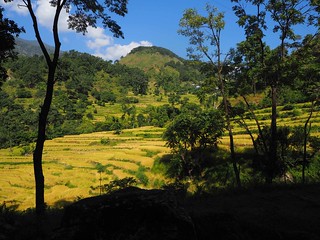
Annapurna Circuit + Annapurna Basecamp
Nepal
A varied tour around the Annapurna mountain range with a detour into the mountain massif.
- Length: 329 km
- Cumulative Altitude: 22,499 m
- Highest Point: 5,416 m
- Lowest Point: 823 m
- Duration: 23 days
- Period: Oct – Nov 2015
No Tour Posts :/ | Flickr Album | Download GPX File
Jakobsweg / GR65 (Via Gebennensis)
Switzerland & France
Connecting route from Geneva in Switzerland to the start of the Via Podiensis in France.
- Length: 355 km
- Cumulative Altitude: 7,278 m
- Highest Point: 1,286 m
- Lowest Point: 139 m
- Duration: 12 days
- Period: Sep 2015
No Tour Posts :/ | Flickr Album | Download GPX File
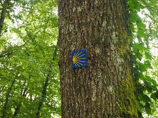
Jakobsweg (Via Podiensis + Camino Francés)
France & Spain
Hiking on the most famous route through France and the classic Spanish route.
- Length: 1,526 km
- Cumulative Altitude: 21,867 m
- Highest Point: 1,504 m
- Lowest Point: 3 m
- Duration: 65 days
- Period: Jun – Aug 2015
No Tour Posts :/ | Flickr Album | Download GPX File

Rennsteig
Germany
Hike on Germany's oldest long-distance trail.
- Length: 170 km
- Cumulative Altitude: 2,513 m
- Highest Point: 971 m
- Lowest Point: 195 m
- Duration: 6 days
- Period: May 2014
No Tour Posts :/ | Flickr Album | Download GPX File
Padjelantaleden
Sweden
Well-developed multi-day hiking trail through northern Sweden. Unlike the Kungsleden, it is rarely used.
- Length: 140 km
- Cumulative Altitude: 2,416 m
- Highest Point: 949 m
- Lowest Point: 280 m
- Duration: 9 days
- Period: Aug 2013
No Tour Posts :/ | Flickr Album | Download GPX File
Sörmlandsleden
Sweden
Easy, accessible, and well-developed hiking trail, partly with shelters in southern Sweden.
- Length: ~100 km (of 1,000 km)
- Duration: 8 days
- Period: Jun 2011
No Tour Posts :/ | Flickr Album | Download GPX File
Nordkalottleden
Norway & Sweden
Challenging and sometimes very remote hiking trail that starts in Finland and follows the border between Norway and Sweden.
- Length: ~150 km (of 800 km)
- Cumulative Altitude: 3,680 m
- Highest Point: 1,032 m
- Lowest Point: 348 m
- Duration: ~10 days
- Period: Jul 2009
No Tour Posts :/ | Flickr Album | Download GPX File
Letterewe Wilderness Walk
Scotland
Remote hike through the Scottish wilderness, partly without trails and completely without markings.
- Length: ~60 km
- Cumulative Altitude: ~1,000 m
- Highest Point: 518 m
- Lowest Point: 5 m
- Duration: ~8 days
- Period: Sep 2008
No Tour Posts :/ | Flickr Album | Download GPX File